A 5D platform for earthquake prevention and control
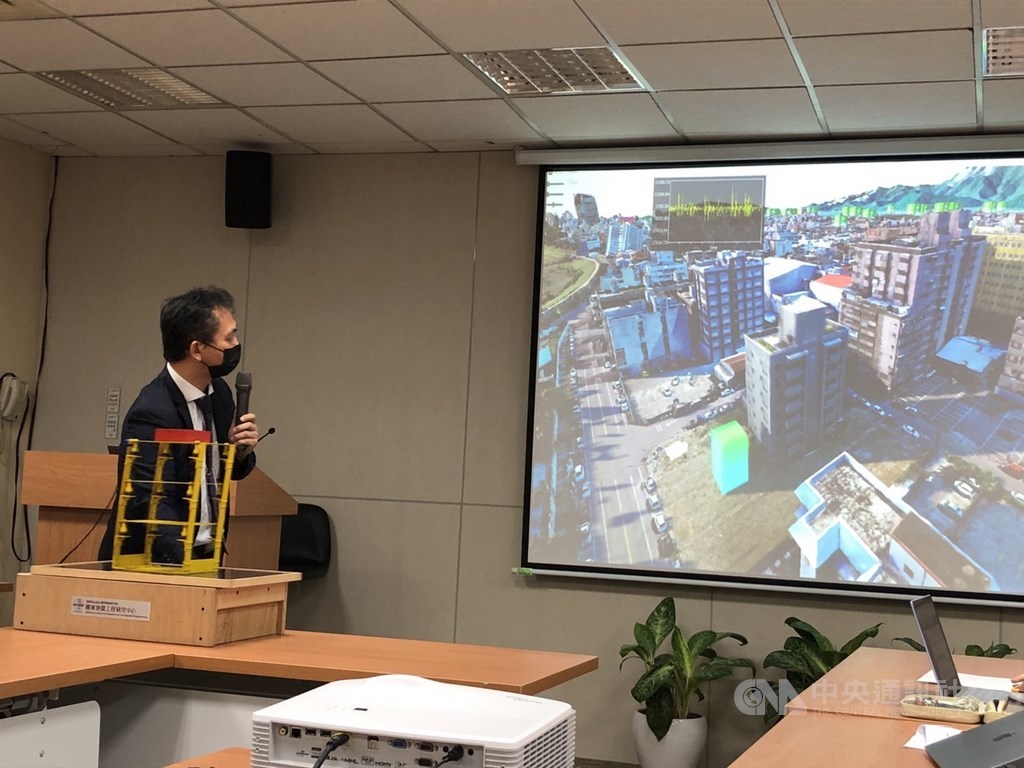
A five-dimensional (5D) smart city earthquake simulation platform was exhibited by its developer, the National Center for Research on Earthquake Engineering (NCREE), at a press conference in Taipei on Tuesday.
According to the Research Center of the National Institute of Applied Research, a 5D smart city platform named SmartES enables screening of buildings that need to be strengthened and simulates the impact of post-earthquake damage on buildings.
NCREE research fellow Wang Ren-zuo (王仁佐) said at the press event that the platform was designed to show the degree of earthquake damage to buildings using a five-color system -- red, orange, yellow, green, and blue. On the five-color scale, red color indicates the most serious damage that will likely cause a building to collapse, while blue color means minimal damage, according to Wang.
The geographic information system (GIS)-based platform integrates a structural monitoring system for buildings, the Taiwan Earthquake Loss Estimation System (TELES), satellite images, models created via modeling by unmanned aerial vehicles (UAVs), and LiDAR point clouds. It could be used for pre-quake preparations to reduce earthquake damage and for post-earthquake emergency responses, Wang said.
Earthquake simulation platform could reveal the seismic fragility of the structures of buildings and bridges that are susceptible to earthquake-induced damage and need to be strengthened, he said. The platform can also detect seismic events and provide real-time earthquake notifications, he added.
Once an earthquake occurs, data and information issued by the Central Weather Bureau, such as seismic waves, can be input into the platform to allow users to understand the possible loss caused by the earthquake and get information about the nearest fire departments and hospitals for post-disaster relief, according to Wang.
In addition, post-earthquake UAV patrolling, instant imagery of damaged buildings, information about relief planning, and dangerous buildings required to be immediately repaired to prevent potential casualties in the event of earthquakes will also be made known via the platform, he said.
NCREE Director Chou Chung-che (周中哲) said the center is capable of producing an assessment report in 10 minutes following the occurrence of an earthquake.
SmartES has been linked to the government's mapping database and databank of images collected by Formosat-5, and would likely be linked with the Ministry of the Interior's collection of 3D maps in the next 1-2 years to make the platform more comprehensive, Chou said.
In the future, the platform will combine IoT (Internet of Things) information, monitoring data, and surveillance images of various parts of every city and county in Taiwan to enable it to be applied to other natural disasters such as typhoons, flooding, and mudslides, he said.
Sources: focustaiwan.tw, opengovasia.com, worldakkam.com
Want to read more like this story?
Earthquake Engineering
Jan, 01, 2019 | EducationEarthquake engineering is a critical field of civil engineering that focuses on the analysis, desi...

5.8-magnitude earthquake strikes Ecuador coast: damaged buildings, huge loss of property, no tsunami
Mar, 28, 2022 | NewsA huge loss of property was suffered when an earthquake of magnitude 5.8 struck Ecuador coast on Sa...
Messina earthquake (1908): a civil engineering landmark
May, 26, 2023 | EducationThe 1908 Messina earthquake, also known as the Great Reggio earthquake, is considered as one of t...
Earthquakes: five deadliest earthquakes ever recorded around the world
Feb, 24, 2022 | NewsEarthquakes are one of the most dangerous natural disasters. More than 100 earthquakes of the magni...

The first earthquake risk model for the whole of Europe shows the cities and regions most threatened by disaster
Apr, 28, 2022 | NewsScientists have created the first earthquake risk model for Europe which will form the basis for mi...
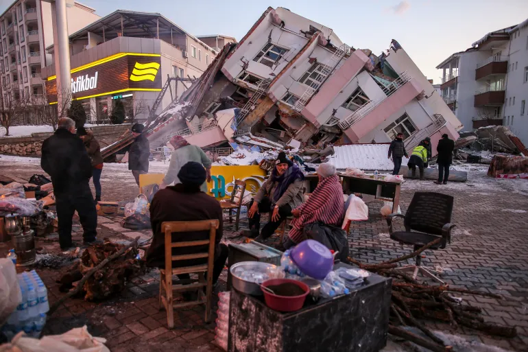
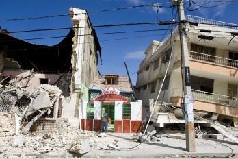
Experts answer: “Why did so many buildings collapse in Turkey?”
Feb, 06, 2023 | NewsFollowing Monday's terrible earthquakes, many of people are reportedly still trapped in the rubble...

Buildings Prone to Earthquakes
Aug, 24, 2015 | NewsThere is a significant percentage of buildings in India that is prone to earthquake since these buil...
Earthquake Damage to Transportation Systems
Jan, 01, 2019 | EducationEarthquakes represent one of the most destructive natural hazards known to man. A serious result of...

Greece and Italy: an earthquake early warning system could save lives
Feb, 08, 2022 | NewsA public earthquake early warning system in Greece and Italy could give people vital seconds’ notic...
Trending


4.1 magnitude earthquake in Nice, France raises concerns among authorities

Tall building fire safety in 2026 using AI, BIM and arson research

Altair will be the tallest residential towers in Sri Lanka

The tallest structure in Indiana: 1,132 feet tall