6.6 magnitude earthquake hit northern Papua New Guinea

A powerful earthquake with a magnitude of 6.6 struck northern Papua New Guinea on Tuesday, according to the U.S. Geological Survey (USGS). The agency initially recorded the quake at 6.7 but later adjusted the figure slightly downward.
The tremor occurred at a depth of about 99km, roughly 26km west of Lae — the coastal capital of Morobe Province and Papua New Guinea’s second-largest city, home to around 76,000 people. Papua New Guinea is located along the Pacific “Ring of Fire,” a region notorious for frequent earthquakes and volcanic activity.
So far, there have been no immediate reports of injuries or property damage. The USGS confirmed that no tsunami warning was issued, and thus authorities in both Australia and the Philippines stated that their countries faced no tsunami threat.
Sources: aa.com.tr, en.yenisafak.com, indiatoday.in, rnz.co.nz
Media
- Papua New Guinea Earthquake BREAKING | Massive 6.7 Magnitude Earthquake SHAKES Lae City | Details
- Magnitude 6.6 Earthquake Hits Lae City, Papua New Guinea: What We Know
Want to read more like this story?

6.5-Magnitude earthquake strikes Papua New Guinea, no immediate damage reported
Dec, 22, 2025 | NewsA powerful earthquake measuring around 6.5 on the Richter scale hit parts of Papua New Guinea on Mo...
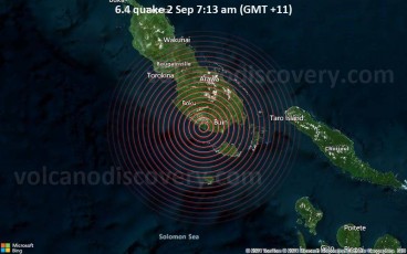
A 6.4 magnitude earthquake struck in Papua New Guinea on Monday morning
Sep, 02, 2024 | NewsA strong (6.4 magnitude) earthquake hit the Bougainville Island in Papua New Guinea at approximatel...

Strong earthquake hits northeastern Papua New Guinea
Apr, 03, 2023 | NewsA 7.0-magnitude earthquake struck northeastern Papua New Guinea early on Monday, according to the U...
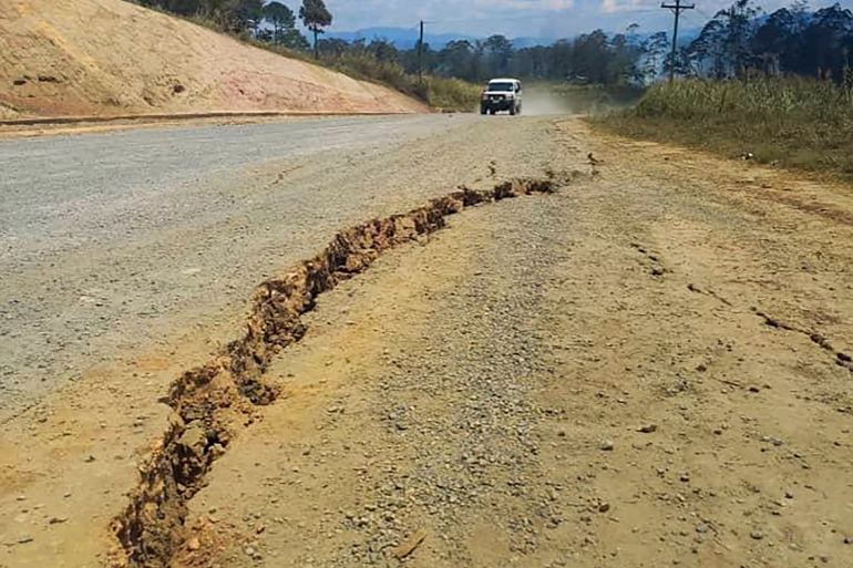
A 7.6-magnitude earthquake shook Papua New Guinea: at least five fatalities
Sep, 11, 2022 | NewsA 7.6-magnitude earthquake shook Papua New Guinea, damaging buildings, triggering landslides and ki...

6.9-magnitude earthquake hit Kermadec Islands in New Zealand
Mar, 04, 2023 | NewsThe Kermadec Islands area of New Zealand was hit by an earthquake on Saturday with a magnitude of 6...

A 5.6 magnitude earthquake struck New Zealand: no reports of major structural damage
Sep, 20, 2023 | NewsNew Zealand experienced a magnitude 5.6 earthquake on Wednesday morning, with no reports of signifi...

7.6 magnitude quake hit Indonesia: tsunami warning lifted
Jan, 10, 2023 | NewsAn earthquake of magnitude 7.6 struck Indonesia (Tanimbar islands) on Tuesday prompting panicked re...

6.6-magnitude earthquake shakes Indonesia’s capital: buildings collapsed, no tsunami alert
Jan, 14, 2022 | NewsParts of Indonesia’s main island of Java were shaken by a powerful earthquake of 6.6-magnitude on F...

Indonesia: 6.6 magnitude earthquake strikes the eastern region
Apr, 09, 2024 | NewsOn Tuesday 9th of April at 09.48 GMT, Indonesia's eastern region experienced a 6.6 magnitude earthq...
Trending

Tall building fire safety in 2026 using AI, BIM and arson research

Altair will be the tallest residential towers in Sri Lanka

Construction of the tallest building in the US delayed due to flight safety concerns

How Big Will Godzilla Be In 2050?

Spectacular interchanges around the world

Africa’s longest bridge: Cairo’s Iconic 6th October Bridge