Keller's Keller NextGen Summit begins at 18 Sep 2026
Keller's Keller NextGen Summit begins at 18 Sep 2026
Create a free account and view content that fits your specific interests in structural engineering Learn More
Civil Engineering Software HEC-RAS. River Modeling Software Floodplain Modeling Software 

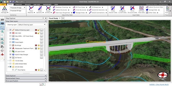


GeoHECRAS
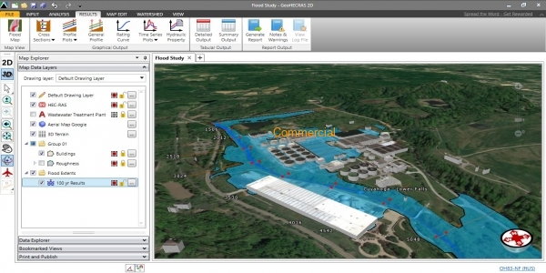
GeoHECRAS is an AutoCAD, MicroStation and ESRI ArcGIS compatible interactive 2D/3D graphical user interface data wrapper to the US Army Corps of Engineers HEC-RAS.
Download Documentation GeoHECRAS significantly speeds up HEC-RAS model creation and review, producing better and more accurate results. Rapidly construct HEC-RAS models from a variety of data sources. Accelerate engineering workflow and streamline analysis review. Compute water surface profiles for steady and unsteady flow models, bridge and culvert roadway crossings, FEMA floodplain encroachments, stream restorations, inline reservoir structures, off-channel storage areas, and much more.
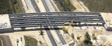
| Category | Bridge management , Bridges |
| Licence Type | Commercial |
| Operating Systems | WinXP, WinNT, Windows Server 2008 |
| Developer | CivilGEO, Inc. |
| Developer Website | https://www.civilgeo.com |
| Developer Email | [email protected] |
This feature is only available for software listings at the Advanced or Lead Sponsorship Level. Each software provider can upgrade the sponsorship level of their software listing by visiting the sponsorship levels page.