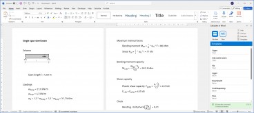
Create a free account and view content that fits your specific interests in structural engineering Learn More
GIS digital twin - usBIM.geotwin
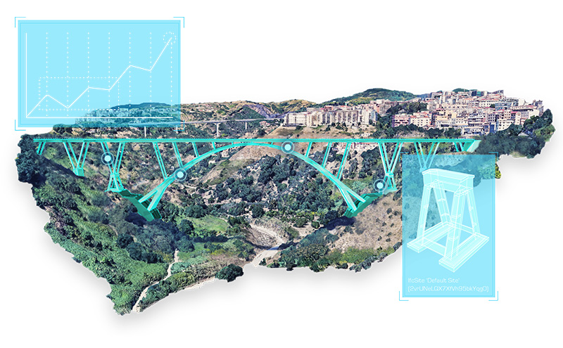
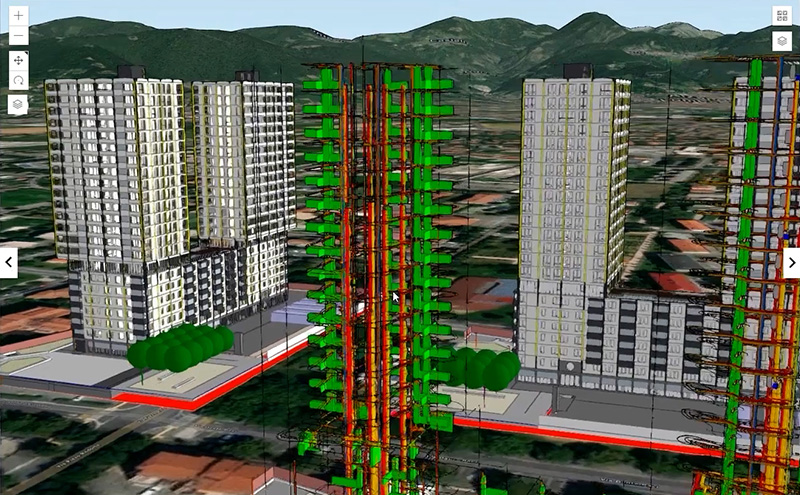
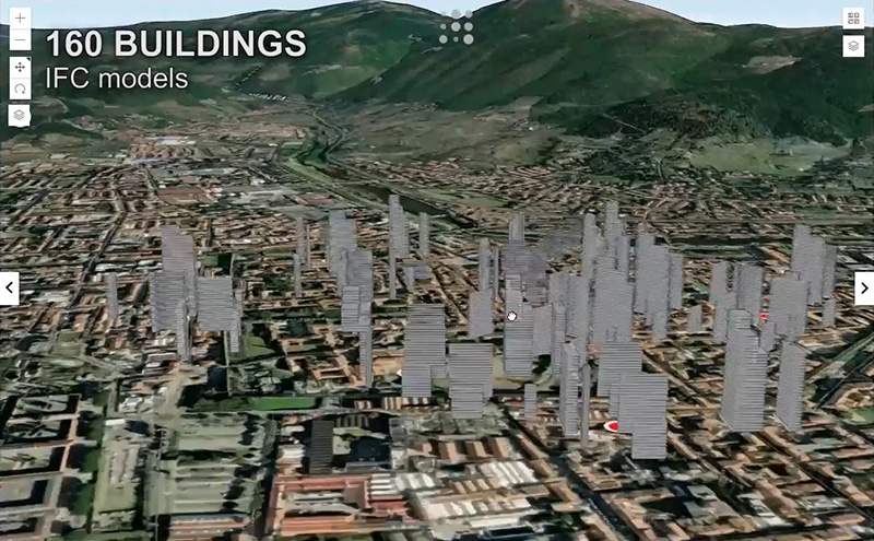
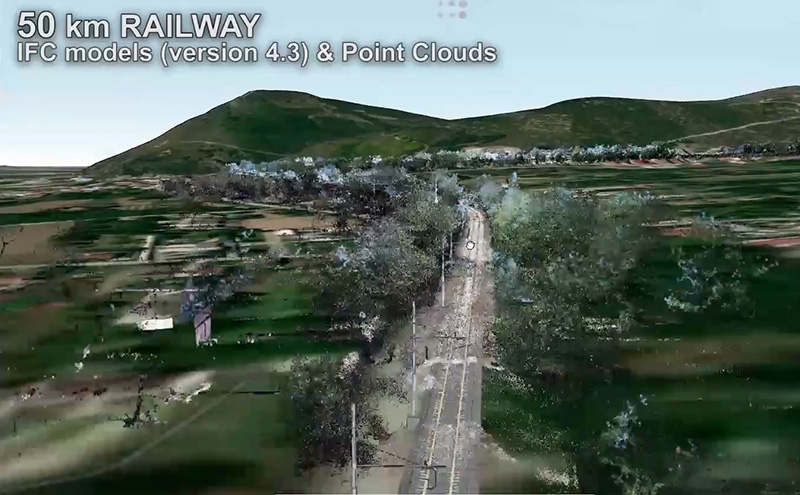
usBIM,geotwin is the innovative solution to create and manage each GIS digital twins of all projects by integrating GIS data with openBIM IFC models.
usBIM.geotwin is the innovative solution to create and manage each GIS digital twin of all projects by integrating GIS data with openBIM IFC models.
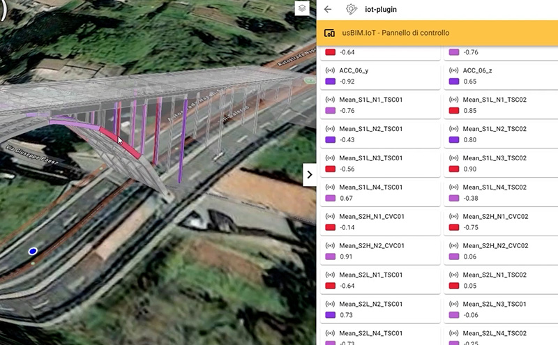
It is developed through the complete, dynamic and bi-directional integration between GIS and openBIM. It is an implementation in which all GIS functions and activities are managed by ESRI's ArcGIS, while any BIM operation is supported by the BIM management system by ACCA software.
A new paradigm for the digitization and geospatial management of buildings and infrastructures with no limits on the complexity, number and continuous updating of the data.
Such integration of technologies provides a number of benefits, such as the below:
• better site planning and design;
• more efficient processing of information;
• optimal project data management;
• efficient resource management;
• improved collaboration between project team members;
• construction accuracy;
• project safety;
• enhanced energy efficiency, monitoring, maintenance and inspection.
In addition, facility management features can be implemented to view the properties of each item, the ongoing maintenance tickets and the performed actions on each element thanks to a specific facility management software.
| Category | Other Structural |
| Licence Type | Commercial |
| Developer | ACCA software S.p.A. |
| Developer Website | http://www.accasoftware.com |
| Developer Email | [email protected] |

This feature is only available for software listings at the Advanced or Lead Sponsorship Level. Each software provider can upgrade the sponsorship level of their software listing by visiting the sponsorship levels page.