An aqueduct dating back to 125 A.D., located under the city of Athens, is being explored

Researchers started the underground mapping of a 25km water supply network. Nowadays, it still seems to carry water under Attica, almost 1,900 years after its construction
Engineers and scientists from EYDAP (Athens’s Water Management Company) and the National Technical University of Athens, have recently started exploring Hadrian’s Aqueduct under the city of Athens. The purpose of the project is to estimate the water supply of the network and the quality of the water, in order for it to be used for the irrigation of public land in the city.
Hadrian’s Aqueduct is probably the most important water supply system the city of Athens had in ancient times. It was constructed on the orders of the Roman Emperor Hadrian due to the drought that hit the city, and it was first set in operation in 140 A.D. The aqueduct primarily consisted of a masonry channel in an underground tunnel and used to transfer water from the foot of Mt. Parnitha to the foot of the Lycabettus hill, where Hadrian’s tank was constructed. It is significant though, that it was made to collect water not only from the initial source, but also to pick up additional quantities from other sources along the way, so branches of the water-carrier and supplementary tunnels were created. The aqueduct was in use until the Ottoman domination, when it was abandoned, causing its walls to fall. At that point, the Athenians turned to the construction of wells in their homes. After the liberation, the city’s water supply problem was intense and thanks to the initiative of municipal authorities important works, such as repairs and cleaning of the Aqueduct, took place so that it reopened in 1840. In 1870, Hadrian’s tank was also discovered, which was restored and operated until 1940. At that time, it has been estimated that the flow rate reached 7.000 m3/day , while a series of wells was constructed, that further increase its capacity by 750 cubic meters. However, the aqueduct could hardly cover the needs of the citizens, as the population was multiplied after the Asia Minor Catastrophe.
The largest part of the network was developed in significant depth - more than 20 meters -, thus utilizing the underground water supply from other areas of the waterway where the aquifer is higher. During the project’s construction, a total of 465 wells were built, placed approximately 35 meters apart from each other. Over the years, and because they were exposed to sabotage, some of them were sealed and others were shattered. At the beginning of the 20th century, 299 wells were recorded, while today around 130 are visible.
The exploration of Hadrian’s aqueduct first started in 2013-2014, but the research was terminated due to bureaucratic reasons. Now, scientists, using special equipment, ‘dive’ into the tunnels, take photographs, videos and water samples. Although it is not in use, an average rate of 480 m3/hour has been counted. As far as the water quality is concerned, its clarity is satisfying, but due to the many possible illegal links along the route, it was not considered safe as drinkable.

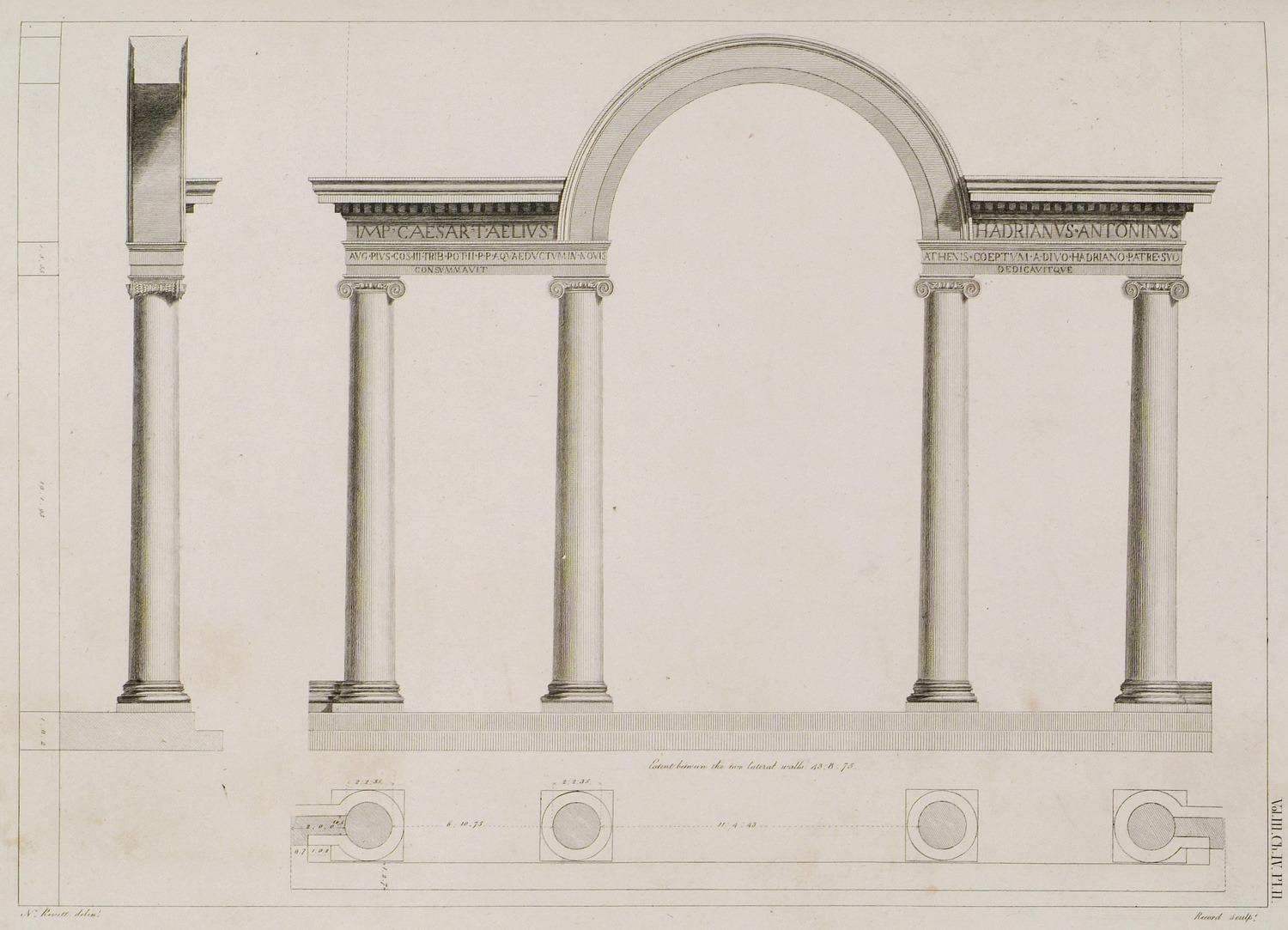
Aqueduct of Hadrian (Dexameni), Athens: The plan, elevation and section of this frontispiece.
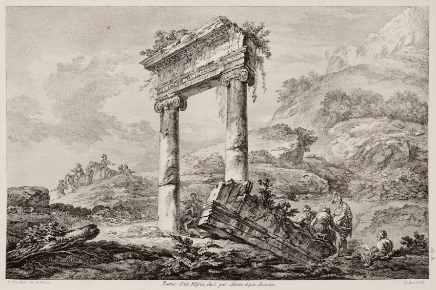
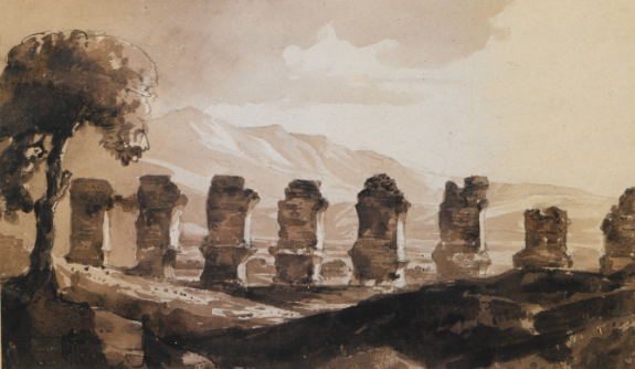
Ruins of Hadrian's aqueduct in Athens.
Photos source: Travelogues
Source: EYDAP S.A.
Media
Want to read more like this story?

Water pipe bridge collapses in Japan: people forced to line up for supplies
Oct, 03, 2021 | NewsA water pipe bridge over the Kinokawa River in Japan collapsed on October 3. One day after the coll...

The Chinese South–North Water Transfer Project: a gigantic and complicated engineering approach to water management
Aug, 16, 2017 | NewsThe South-to-North Water Diversion Project (SNWDP), also called the South–North Water Transfer Proje...

Sinkholes Found Near Lotte World Tower
Aug, 01, 2014 | NewsFive years into construction on the Lotte World Tower, the developers of the skyscraper have receive...

Interesting bridges around the world
Mar, 20, 2017 | NewsEach one of them is unique in its own way! 1. Sidu River bridge,...

September 7, 1999: a strong earthquake struck Athens, Greece
Sep, 07, 2023 | NewsOn September 7, 1999, Athens experienced a catastrophic earthquake. The event resulted in the loss...

A unique in-tunnel grouting project by Keller at Merbourne's Metro Tunnel
Jun, 08, 2021 | NewsAfter months of careful design planning and on-site expertise, Keller has successfully completed a...

Riverton Redevelopment Groundwater Treatment Project of the Year Award
Feb, 11, 2025 | NewsKeller received the 2024 Groundwater Treatment Project of the Year award from The Dewatering Instit...
Athens Earthquake, Greece, 7 September 1999
Jan, 01, 2019 | EducationThis page illustrates photos from the Athens, (September 7th, 1999) earthquake, taken by Dimitris...

Keller's water treatment expertise helps DC project
Feb, 19, 2021 | NewsWhile Keller is renowned throughout the world for its wide range of geotechnical solutions, perhaps...
Trending

New Release - STAAD.Pro 2025

Melbourne Approves Skinny Skyscraper

Spectacular interchanges around the world

Maine Medical Center

Buildings Prone to Earthquakes

Roof collapse at Curragh Coal Mine leaves one worker missing


